A good video for helping improve those trail skills
Carfrae Mill to Dunbar
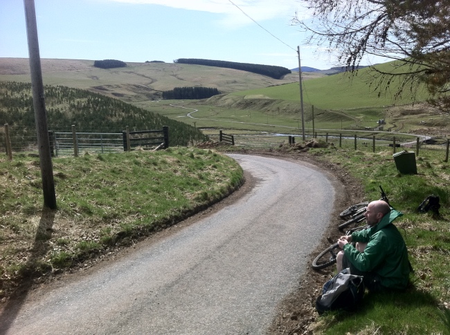
Another cracking ride, 30 miles over the Lammermuirs. There is a lot of riding to be had out there. We left Carfrae Mill camp site and headed right into the hills over to Dunbar via Whiteadder. This would be a … Continue reading
Dunbar to Abbey St Bathans loop
We completed a great 40 mile XC route from Dunbar to Abbey St Bathans and back. The route followed the John Muir way from Dunbar and joined the Southern Upland way at Pease Dean to Abbey St Bathans and then a bit of road work up to the Lammermuirs and over Crystal Rig back into Dunbar again.
John Muir Way
Penmansheil Woods
Southern Upland way on the way to Longformacus after Abbey St Bathans
A bit of road work to the Lammermuirs then off road again over Crystal Rig
Footpaths Maps, Online O.S. maps
Footpaths OS maps covering the whole UK. Unfortunately no way of producing a route overlay but still a great resource for planning a ride. Paths are visible at zoom levels 7 and 8.
Do you know the Scottish outdoor access code?
Fun game with a few questions that might throw you…
After a lot of …
After a lot of exploring the local countryside since the end of last Summer (2011) on my cross country bike (often in the dark during winter…) asking people, hearing of places and piecing things together I decided to produce this site to provide a rough guide as to where there is to go mountain biking around the Dunbar area. I have used Dunbar as a basis only as this is where I stay and have been accessing trails from my front door. I would like to cover more of East Lothian in the future.
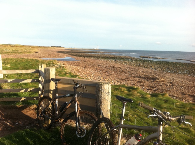
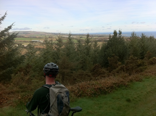
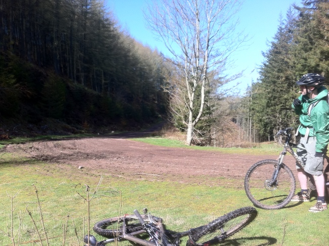
There are a number of accessible off road trails around the Dunbar area that can be explored by bike, from a quick 45 minute blast skirting round the foot of Doonhill, to an all-day epic in the Lammermuirs. If you are keen to get out there, explore and get dirty, there is a ride to be done.
I have met a good few people that enjoy mountain biking and they were not aware of the network of trails around locally. You don’t need to go to Glentress or Innerleithen to enjoy riding your mountain bike. Not that I am against trail centres, far from it, they are great fun and a fantastic asset to the sport and I usually jump at the chance to get to one. But I wanted to show that there is mountain bike riding to be done locally for those who are interested in the activity.
If you have a smart phone I highly recommend the free National Cycle network app, not just because it shows the whole of the national cycle network but it is OS based and provides a great in your pocket OS map. If you load up the area you are exploring before you set off on your ride it will stay in the memory of your device for reference, even if you close the app to take a photo or whatever. So, if you get caught out in an area without any signal you will still have a map. Just make sure your battery is charged! I have done all of my working out of routes and exploring using this app.
I can also recommend the East Lothian Core paths plan (grid ‘J’ shows the paths around Dunbar) showing the whole of the core paths network in East Lothian:
http://www.eastlothian.gov.uk/downloads/download/1402/east_lothians_core_paths_plan
Again these maps are free to download and they are OS based, a good few of the routes mapped here use core paths, some are better than others though.
For those getting started, You don’t need an expensive bike to get out and enjoy the trails (a lot of my rides have been done on a mountain bike from the late 90s with no suspension) though I would recommend some tyres that can cope with the mud!
Ray.


